
EXPLORE THE OZARK TRAIL
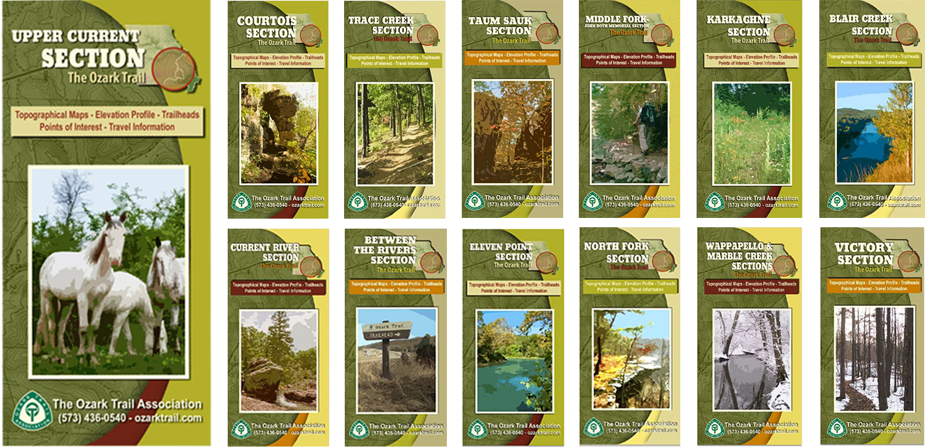
14 SECTIONS. 13 MAPS.
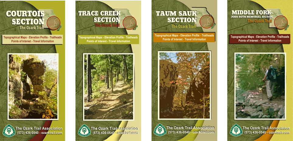
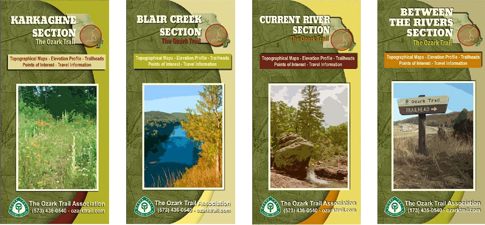
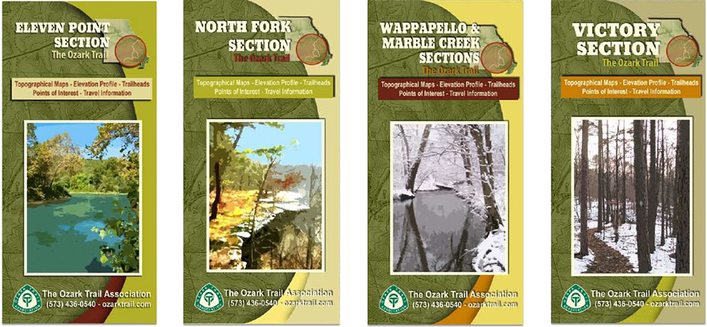
When you’re out on the trail, it’s important to have more than one way to navigate. You can download a GPX file, print a free map, or purchase a waterproof map to carry with you. Having multiple map sources on hand can help you stay oriented when conditions change or technology isn’t available.



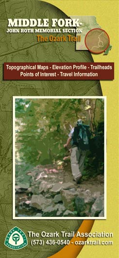

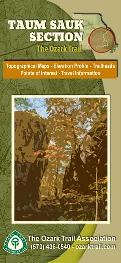
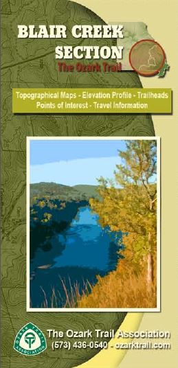
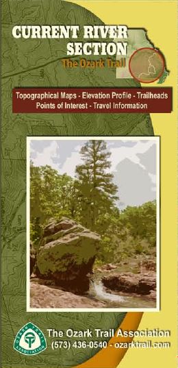

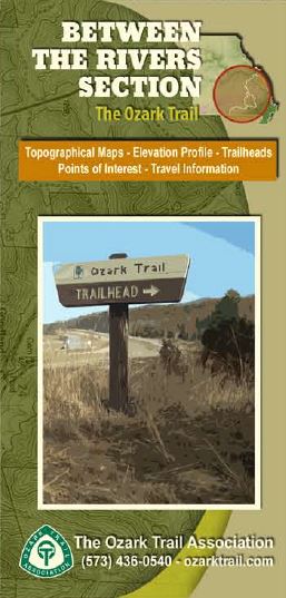
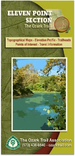
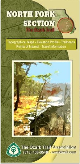

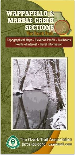
Marble Creek and Wappapello are combined on one map.
MAP YOUR WHOLE ADVENTURE
MAP SETS & BUNDLES
Looking beyond a single section? Choose a map set built around the way you want to explore the Ozark Trail.
TAKE THE TRAIL WITH YOU
FREE PDF MAPS
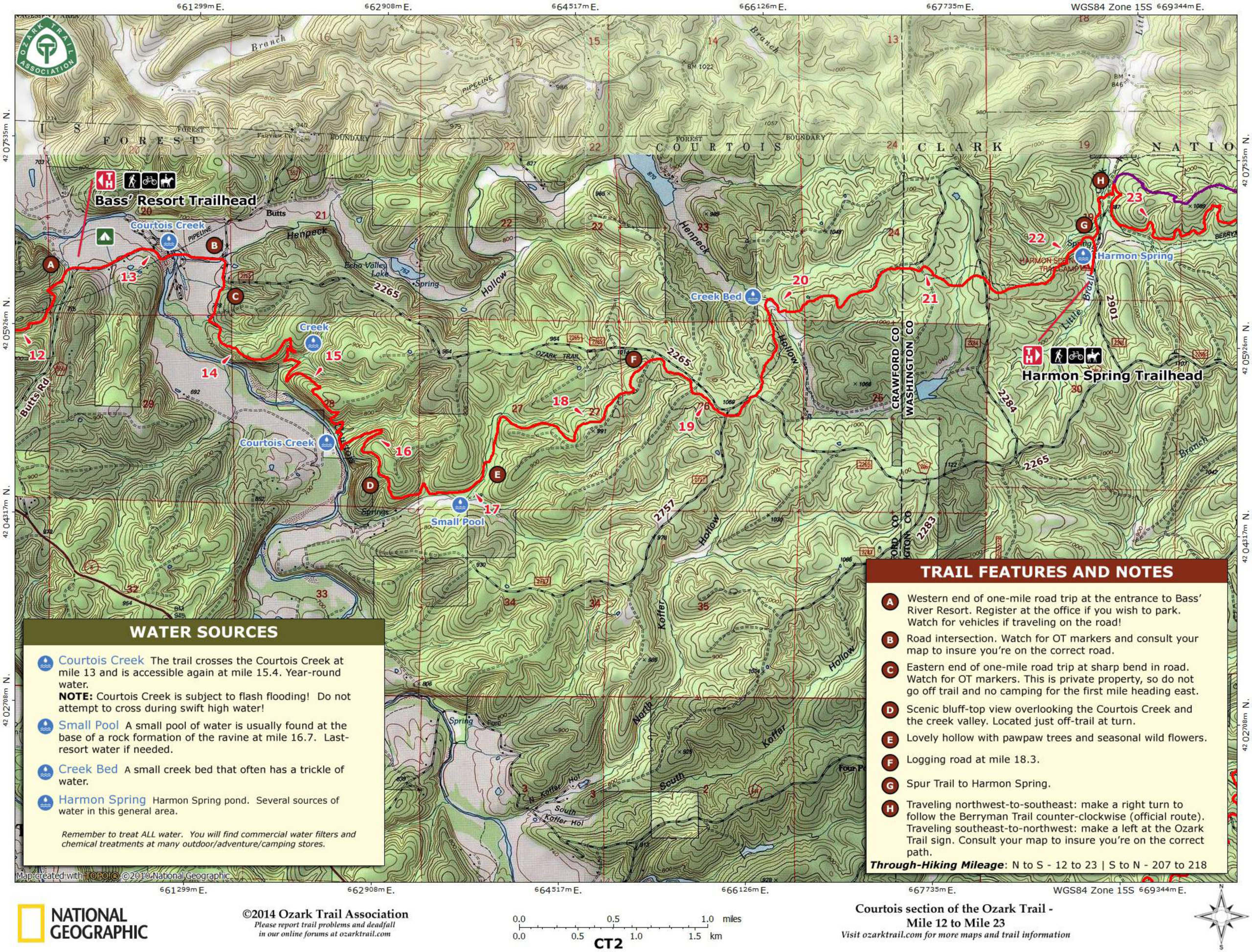
Our free printable pdf maps put the Ozark Trail in your hands, with detailed topography, trail information, trailheads, water sources, and points of interest. Use the “Free PDF” button on any section above to download the map for that section.
- TOPOGRAPHICAL DETAIL
- TRAILHEADS & ACCESS
- WATER SOURCES
- POINTS OF INTEREST