QUICK FACTS

48
MILES

MODERATE
DIFFICULTY

4,200′
N→S ASCENT

4,000′
S→N ASCENT




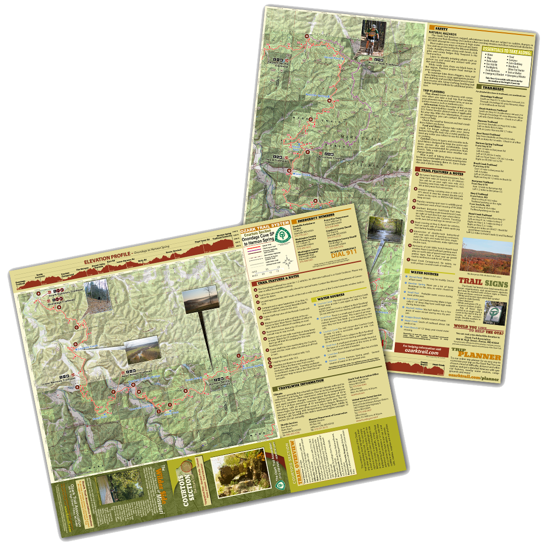
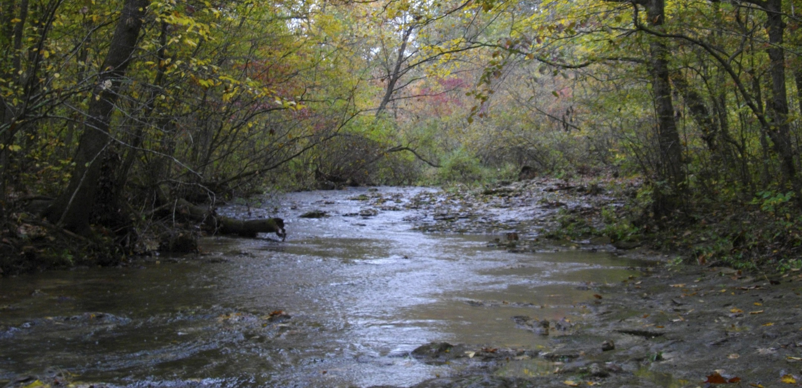
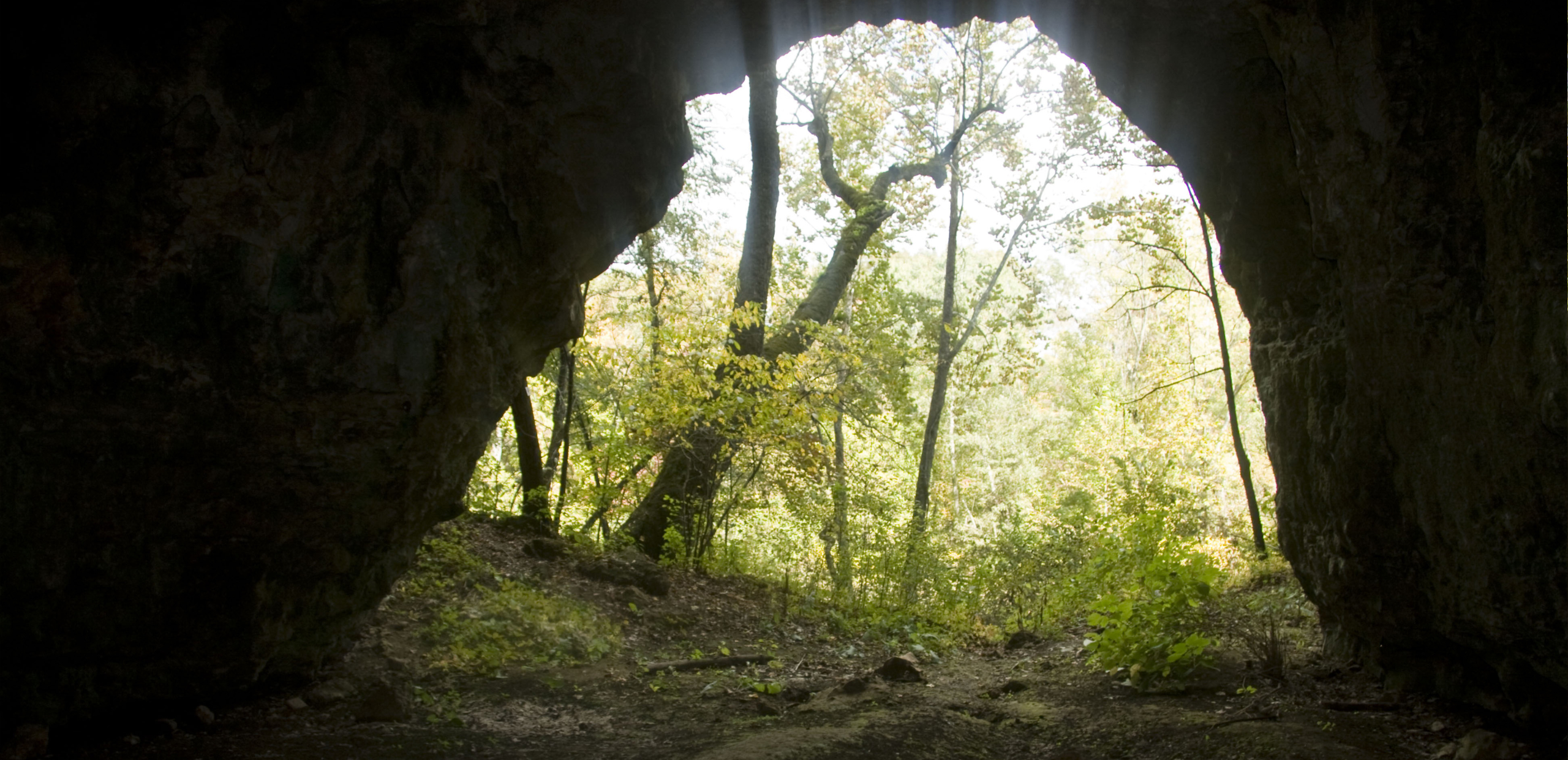
The 48-mile Courtois section has perhaps more trip options than any other part of the trail. You can enjoy a short walk along the Courtois Creek, a vigorous mountain bike challenge on the Berryman Loop or down to Hazel Creek, a sunset horseback ride to the Huzzah Creek bluffs, a long backpacking trip or even a hike-and-float adventure that combines a 12.5 mile hike with a canoe trip back to your car!

EXPLORE THE COURTOIS SECTION
View the four official map sheets below to plan your route,
find trailheads, and explore the details of each section.

CT1
The northern portion of the Courtois Section, beginning near Onondaga Trailhead and continuing south through the Huzzah State Forest.
VIEW FULL MAP (PDF) →

A FAVORITE FOR MOUNTAIN BIKING
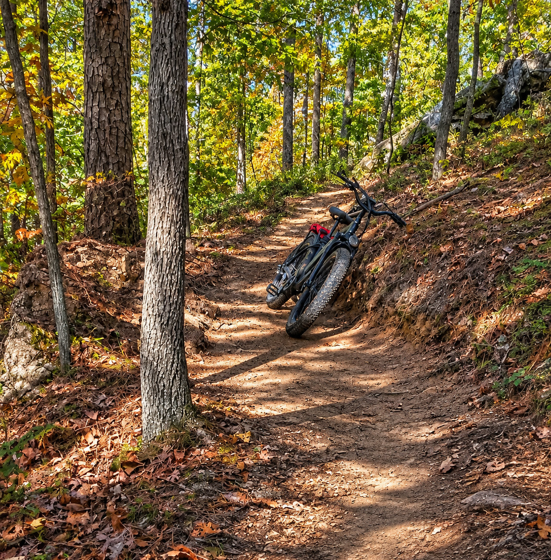
The Berryman Trail
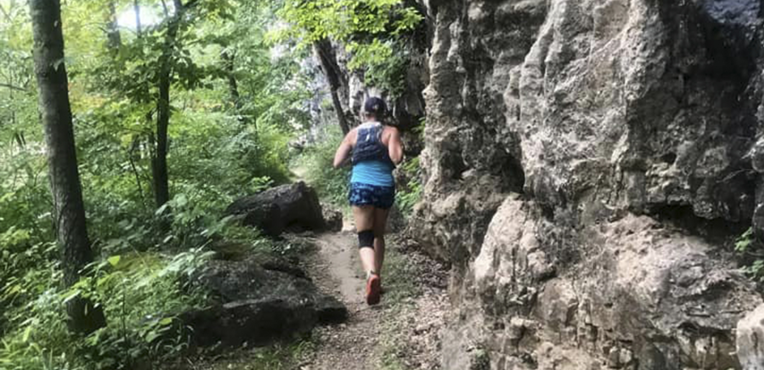
A 26.5-mile loop through the scenic Ozark countryside, the Berryman Trail features rocky ridges, forested hollows, and challenging climbs. This hiking, mountain biking, and equestrian trail, leads you into and around the hollows. There are several long, sustained climbs and rocky descents. The western half of this trail also serves as part of the Courtois Section, and can be used as part of a longer adventure.
26.5 Miles | Moderate Difficulty
Plan Your Trip
Find the information you need for a safe
and successful adventure.
Start your adventure at one of the many access points along the Courtois Section.
Onondaga N to S Mile Marker: 0 S to N Mile Marker: 233
 GPS: 3803.416, 9113.323
 Parking: A small pull-off for 1-2 vehicles. This is not marked as a parking lot.
 Map: CT 1
Ozark Outdoors N to S Mile Marker: 0 S to N Mile Marker: 233 GPS: 3803.416, 9113.323 Parking: A small pull-off for 1-2 vehicles. This is not marked as a parking lot. Map: CT 1
Lower Narrows N to S Mile Marker: 7.6 S to N Mile Marker: 225.4 GPS: 3800.074, 9111.82 Parking: 4WD vehicle required for access. Map: CT 1
Bass’ River Resort N to S Mile Marker: 12.4 S to N Mile Marker: 220.6 GPS: 3759.526, 9110.52 Parking: Check in with Bass River Resort before using this lot for trail access. Parking fees apply. Map: CT 1 & CT 2
Harmon Spring NEEDS UPDATED INFO N to S Mile Marker: 22 S to N Mile Marker: 211 GPS: 3759.442, 9104.526 Parking: Parking area at the end of Forest Service road 2901. Located about 500′ or so south of trail. Map: CT 2 & CT 3
Brazil Creek Berryman Trail Mile Marker: 3.2
Berryman Berryman Trail Mile Marker: 10.4
Highway 8 N to S Mile Marker: 33.3 S to N Mile Marker: 199.7 GPS: 3755.034, 9104.562 Parking: Road crossing at Highway 8. Paved. Watch for vehicles. Map: CT 3 & CT 4
Hazel Creek N to S Mile Marker: 44.9 S to N Mile Marker: 188.1 GPS: 3750.284, 9100.95 Parking: Parking is on the north side of the gravel road near the interpretive signs. The trail is a short way up the gravel road to the northeast. Look for OT markers. Map: CT 4
Primitive camping is allowed in the Mark Twain National Forest. Camp at least 100′ from the trail and water sources and follow Leave No Trace guidelines.
N to S Mile Marker: 0 S to N Mile Marker: 233
Map: CT 1
N to S Mile Marker: 0 S to N Mile Marker: 233
Map: CT 1
Huzzah Conservation Area N to S Mile Marker: 5.1 S to N Mile Marker: 227.9 Map: CT 1
Campground is open September 15 to May 15.
Parking available year-round.
Bass’ River Resort N to S Mile Marker: 12.4 S to N Mile Marker: 220.6 Map: CT 1 & CT 2
Brazil Creek Campground
Berryman Trail Mile Marker: 3.2
Map: CT 3
Berryman Campground Berryman Trail Mile Marker: 10.4 Map: CT 3
Hazel Creek Campground N to S Mile Marker: 44.9 S to N Mile Marker: 188.1 Map: CT 4
Water conditions can change, so plan accordingly – some crossings are subject to flash flooding. Do not attempt to cross during swift high water! Remember to treat ALL water.
Courtois Creek
N to S Mile Marker: 5.2 S to N Mile Marker: 227.8
This is a “wet crossing” that can get deep. This area is prone to flash flooding. During spring rains the creek may not be passable for days.
Small pool N to S Mile Marker: 10.9
S to N Mile Marker: 222.1
Fairly reliable water source.
Small pool
N to S Mile Marker: 16.3 S to N Mile Marker: 216.7
A small pool of water is usually found at the base of a rock formation of the ravine. Last-resort water if needed.
Creek bed
N to S Mile Marker: 19.7 S to N Mile Marker: 213.3
Small creek bed that often has a trickle of water.
Harmon Spring N to S Mile Marker: 22 S to N Mile Marker: 211
Harmon Spring pond. Several sources of water in this general area.
Vernal pond
N to S Mile Marker: 25.4 S to N Mile Marker: 207.6
Water may be muddy. Source of last resort.
Beecher Spring
N to S Mile Marker: 27.8 S to N Mile Marker: 205.2
Lots of horse droppings in area, so water should be treated.
Small pool
N to S Mile Marker: 33.9 S to N Mile Marker: 199.1
Probable water source during most of the year
Lost Creek
N to S Mile Marker: 36 S to N Mile Marker: 197
Water is typically 6″-18″ deep. May have swift high water during heavy rains.
Machell Hollow
N to S Mile Marker: 39.4 S to N Mile Marker: 193.6
A few pools of water except during dry periods.
Snapps Branch
N to S Mile Marker: 45.2 S to N Mile Marker: 187.8
Reliable water source.
Hazel Creek
N to S Mile Marker: 47.5 S to N Mile Marker: 185.5
100 yards south of trailhead.
Town Branch
N to S Mile Marker: 47.7 S to N Mile Marker: 185.3
Water is typically 6″-12″ deep. Year-round water crossing.